Observearth QGIS Plugin Tutorial
Getting Started
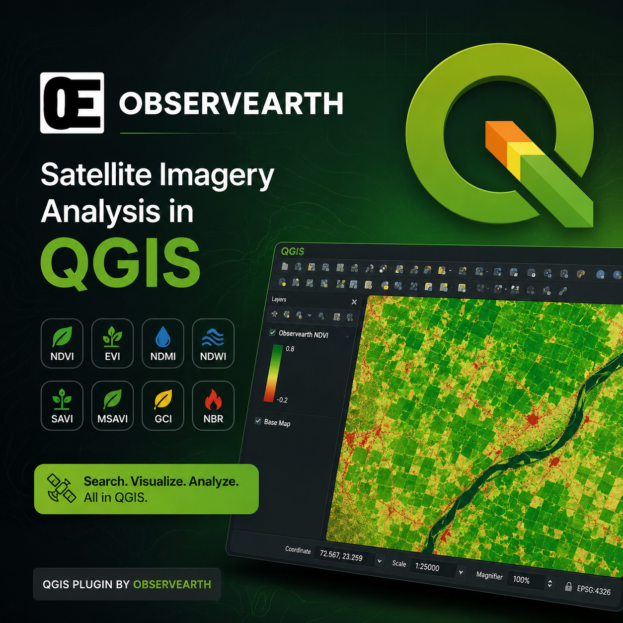
The Observearth QGIS Plugin makes it easy to discover, visualize, and analyze satellite imagery directly inside QGIS. With support for multiple spectral indices, you can quickly monitor vegetation, water, burned areas, and other environmental conditions without leaving your GIS workflow.
Features
-
Search satellite imagery from STAC catalogs
-
Visualize imagery directly in QGIS
-
Generate spectral indices such as:
-
NDVI
-
EVI
-
And more
-
-
View raster statistics
-
Fast cloud-based imagery processing
-
Simple and intuitive interface
Installation
-
Download and install the Observearth plugin.
-
Open QGIS.
-
Navigate to Plugins → Manage and Install Plugins.
-
Install or enable the Observearth plugin.
-
Launch the plugin from the toolbar or Plugins menu.
Searching for Satellite Imagery
-
Open the Observearth plugin.
-
Draw or select an Area of Interest (AOI).
-
Choose the satellite dataset.
-
Select the required date range.
-
Click Search.
-
Available satellite scenes will be displayed.
Loading an Image
-
Select a scene from the search results.
-
Choose the desired spectral index.
-
Click Load.
-
The processed raster will be added directly to your QGIS project.
Viewing Statistics
After loading an index, the plugin displays useful statistics such as:
-
Minimum value
-
Maximum value
-
Mean value
-
Standard deviation
These statistics help interpret satellite-derived information for your area of interest.
Best Practices
-
Use cloud-free imagery whenever possible.
-
Select an appropriate date range for your analysis.
-
Keep the Area of Interest limited for faster processing.
-
Compare multiple dates to monitor changes over time.
Troubleshooting
No imagery found
-
Verify your Area of Interest.
-
Expand the date range.
-
Check cloud coverage.
Slow processing
-
Reduce the AOI size.
-
Close unnecessary QGIS layers.
-
Ensure a stable internet connection.
Image not loading
-
Verify internet connectivity.
-
Refresh the search results.
-
Restart the plugin if necessary.
Need Help?
If you have questions, encounter issues, or would like to request new features, visit:
Website: https://observearth.com/
Thank you for using the Observearth QGIS Plugin!