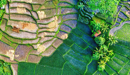
The Problem We Are Solving
As a farmer or agri-business owner, you deal with a lot of uncertainty. Is my crop healthy? Is there unusual stress on my farm? Is the vegetation declining? Checking this manually is time-consuming and often not possible at scale — especially if you manage multiple farms across large areas.
ObservEarth solves this by watching your farm from space, every time a new satellite passes over it, and alerting you automatically when something crosses the threshold you care about.
How It Works — Step by Step
Step 1 — Add Your Farm
First, you add your farm as an Area of Interest (AOI) on the ObservEarth dashboard. You draw the boundary of your farm on the map and save it. That's it — from this point, ObservEarth knows exactly which piece of land to monitor.
Step 2 — Create an Alert
Once your farm is added, go to the Notifications section and click Add Alert. You will see the Create Alert form as shown in the screenshot above.
Here is what you fill in:
-
Farm — Select which farm you want to monitor. You can search by name if you have multiple farms.
-
Alert Name — Give your alert a meaningful name like "Low NDVI Alert" or "High Soil Moisture Warning" so you can identify it easily later.
-
Monitor Until — Set a date until which you want this alert to stay active. After this date the alert automatically turns off.
-
Satellite — Choose which satellite data you want to use:
-
Sentinel-2 — Best for vegetation, crop health, soil, and water indices (NDVI, NDBI, EVI, SAVI and more)
-
Sentinel-1 — Best for radar-based monitoring, works even through clouds (RVI, VV, VH and more)
-
-
Logic — If you add multiple conditions:
-
AND — All conditions must be true to trigger the alert
-
OR — Any one condition being true will trigger the alert
-
-
Message — An optional note you want to attach to this alert, like "Check irrigation immediately."

Step 3 — Add Conditions
This is the heart of the alert. A condition is simply:
"Notify me when [Index] [Operator] [Threshold]"
For example:
-
NDVI < 0.4 — Notify me when vegetation health drops below 0.4
-
RVI > 0.8 — Notify me when radar vegetation index goes above 0.8
-
NDBI > 0.3 — Notify me when built-up or bare soil index is high
You can add multiple conditions using the + Add Condition button. The Logic (AND/OR) you selected above determines how they are combined.
Once done, click Create Alert.
Step 4 — ObservEarth Monitors Automatically
After you create the alert, you do not need to do anything. Every night, ObservEarth's system:
-
Checks if a new satellite image is available for your farm
-
If yes — calculates the latest index values (NDVI, RVI, etc.) from the image
-
Checks your alert conditions against those values
-
If the conditions are met — records a notification instantly
Since Sentinel-2 passes over most areas every 5 days, you can expect to receive alerts whenever a fresh image is captured and your conditions are triggered.
Step 5 — View Your Notifications
Go to the Notifications page on your dashboard. You will see two tabs:
-
Alerts — All your active and inactive alerts with their current status
-
Notification History — A full log of every time an alert was triggered, which index triggered it, what the value was, and on which date
This gives you a complete history of your farm's health events over time — all automated, all from satellite data.
What Indices Can You Monitor?
Sentinel-2 (Optical):
Indices like NDVI (vegetation health), EVI (enhanced vegetation), NDBI (built-up/bare soil), SAVI (soil adjusted vegetation), NDWI (water content) and many more.
Sentinel-1 (Radar):
Indices like RVI (radar vegetation index), VV (vertical polarization), VH (cross polarization) — useful because radar works even on cloudy days when optical satellites cannot see the ground.
Why This Matters
-
No manual checking — the system works while you sleep
-
Real satellite data — not models or estimates, actual satellite measurements
-
Multiple conditions — set complex rules like "alert me only if NDVI is low AND NDBI is high"
-
Full history — see every past notification in one place
