Quick Info
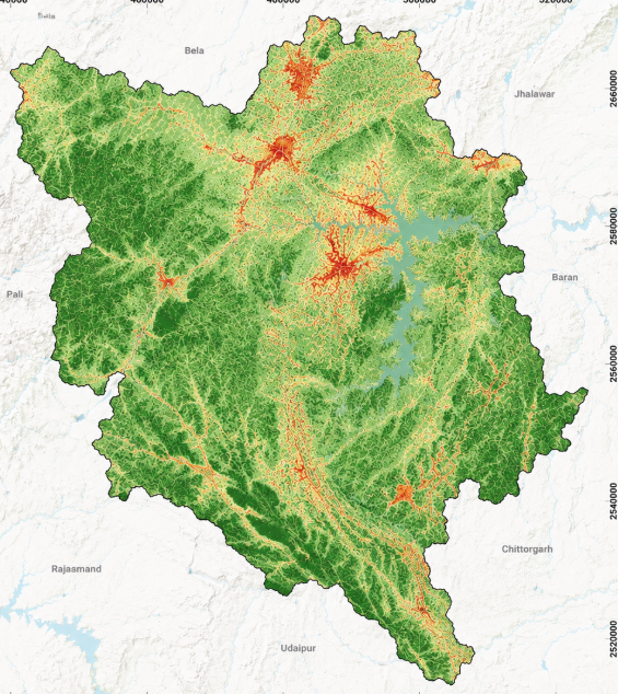
Satellite
Sentinel-2
Category
Urban
Min Value
-1.0
Max Value
1.0
Colormap
Greys
Bands Used
nir
swir16
Satellite Details
Description
NDBI highlights urban and built-up areas by exploiting the higher SWIR reflectance of impervious surfaces compared to NIR. Positive values indicate built-up land. Used for urban expansion monitoring, impervious surface mapping, and land use change detection in growing cities.