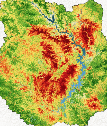
Quick Info
Satellite
Sentinel-2
Category
Fire
Min Value
-1.0
Max Value
1.0
Colormap
RdYlBu_r
Bands Used
nir
swir22
Satellite Details
Description
NBR identifies burned areas and assesses fire severity using NIR and SWIR bands. Healthy vegetation shows high NBR values while burned areas show low or negative values. The difference between pre- and post-fire NBR (dNBR) is used to map burn severity for post-fire recovery planning.