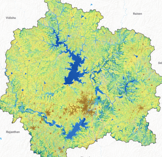
Quick Info
Satellite
Sentinel-2
Category
Water
Min Value
-1.0
Max Value
1.0
Colormap
Blues
Bands Used
green
swir16
Satellite Details
Description
MNDWI enhances open water detection by using SWIR instead of NIR, effectively suppressing built-up land and vegetation noise. It provides cleaner water body delineation in urban areas compared to NDWI. Commonly used for urban flood mapping and coastal water quality monitoring.