Quick Info
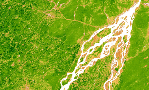
Satellite
Sentinel-2
Category
Vegetation
Min Value
0.0
Max Value
1.0
Colormap
YlGn
Bands Used
blue
red
nir
Satellite Details
Description
EVI improves upon NDVI by correcting for atmospheric distortions and soil background noise using the blue band. It performs better in dense canopy regions where NDVI tends to saturate. Commonly used for monitoring tropical forests and high-biomass agricultural areas.