Quick Info
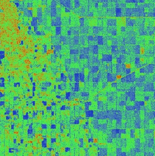
Satellite
Sentinel-1
Category
Vegetation
Min Value
0.0
Max Value
1.0
Colormap
RdYlGn
Bands Used
VH
VV
Satellite Details
Description
RVI measures vegetation cover and density using SAR backscatter from VH and VV polarizations. It exploits the volume scattering mechanism of vegetation canopies. Values approach 1 for dense vegetation and 0 for bare soil. Useful for crop monitoring and forest biomass estimation in all weather conditions.