Quick Info
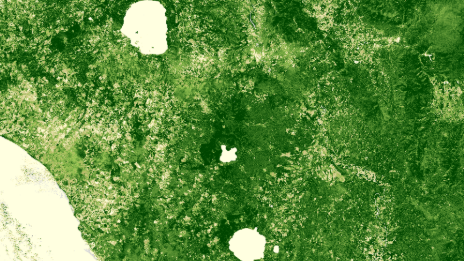
Satellite
Landsat
Category
Vegetation
Min Value
-1.0
Max Value
1.0
Colormap
YlGn
Bands Used
SR_B2
SR_B4
SR_B5
Satellite Details
Description
EVI for Landsat corrects for atmospheric and soil background effects using blue, red, and NIR bands. It provides improved sensitivity in high-biomass regions where NDVI saturates. Used for monitoring dense tropical forests, high-productivity croplands, and long-term vegetation dynamics analysis.